
Civil
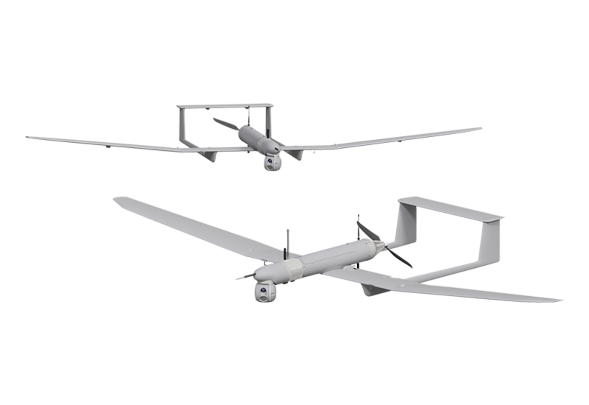
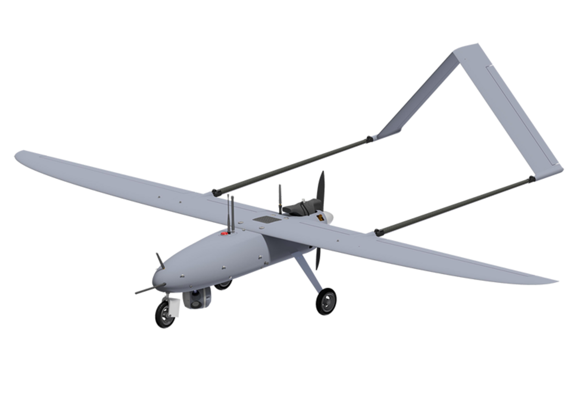
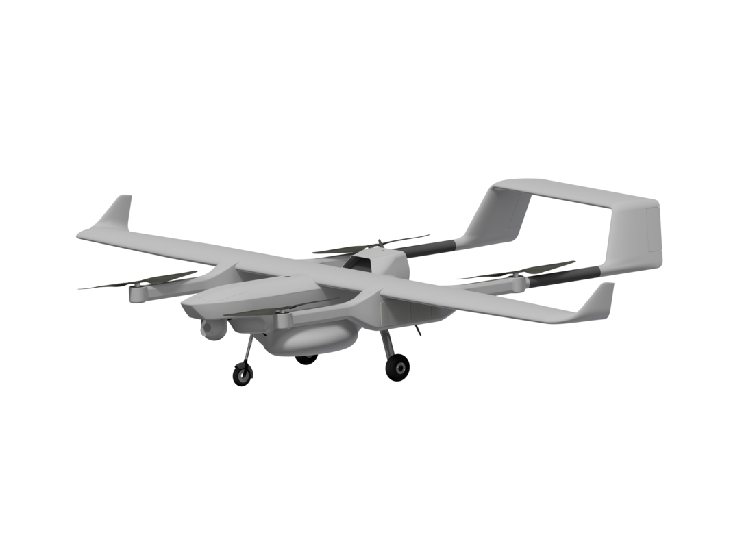
Monitoring a crisis, such as a natural disaster, requires rapid decision-making. In this race against time, UAS can be a valuable ally. It enables precise data to be collected and support to be provided rapidly in the affected areas. Survey Copter drones, equipped with multiple sensors (gyrostabilized camera with day/night vision, AIS - Automatic Identification System-, COMINT - Communications Intelligence-, etc.), can provide precise images and data on the extent of damage, as well as in the search for and location of victims. An invaluable asset for rescue teams.
Thanks to their sensors and carrying capacity, Survey Copter UAS can help manage rescue logistics and organize and deploy resources. They can, for example, establish a communications relay or provide detailed 3D maps of the affected areas in liaison with teams on the ground.
Safety is a crucial aspect of rescue and relief operations. Survey Copter solutions are designed to fly in difficult weather conditions such as wind, rain and high heat zones.


